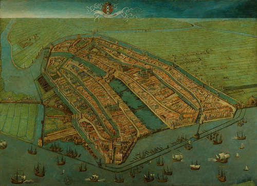
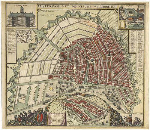
On aerial photographs and maps, the Amsterdam canal ring is immediately recognisable due to its characteristic semi-circular form made up of the Herengracht, Keizersgracht and Prinsengracht canals in the centre of the city. The canal ring is a fine example of Dutch urban development in the seventeenth century. With the massive inflow of new arrivals in the prosperous western Republic from the end of the sixteenth century onwards, town administrators and town-dwellers were confronted with overcrowded towns, housing shortages and a lack of space. Urban development was unavoidable. But how could this be realised and what should the priorities be? Should the starting point be sensible considerations or aesthetic principles as set out in the popular tracts on the ideal city?
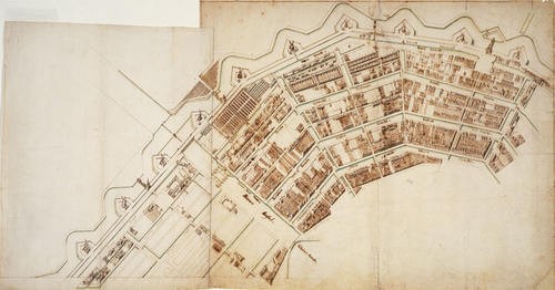
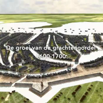
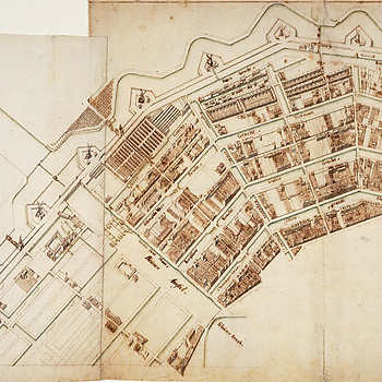
At the end of the sixteenth century, the city of Amsterdam made a cautious start at increasing urban space. Large-scale development, however, only took place from 1613 onwards when the three canals mentioned above were dug up to the current Leidsegracht. A new western port area was realised by the creation of three rectangular islands and a new neighbourhood was developed to the west of the canals: the Jordaan. This was all done in accordance with a master plan involving various parties: the town administration, the Stadholder (governor), the Council of Holland and the town carpenter, Hendrick Jacobszoon Staets. It was a large project. Land had to be repossessed, new defences had to be built and funds had to be made available to finance the undertaking.
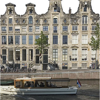
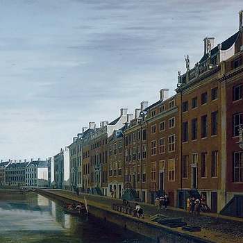
The elements of functionality and beauty were combined in the plan. Wherever possible, use was made of tight geometric shapes, which means the urban development features the consistent use of straight lines. In addition, the aim was to create a geographic division between the various urban functions. The new western islands mainly accommodated wharves and shipping companies, whereas the Jordaan district provided room for housing and small businesses. The canals had an exclusively residential function. Numerous “urban palaces” arose, built by wealthy merchants, bankers, town administrators and other men of means.
In the period from 1656 to 1662, the canals were extended to across the river Amstel, which gave the centre of Amsterdam its current shape. The design continued along the lines of the first phase: new, even more lovely and bigger canal houses decorated this new section. Today, the Golden Bend of the Herengracht can still be regarded as a symbol of the wealth of the Golden Age.
At the time of this last development the Golden Age was drawing to a close. The development of 1662 had been too optimistic. The newly-won urban area to the east of the Amstel remained noticeably empty until far into the nineteenth century.
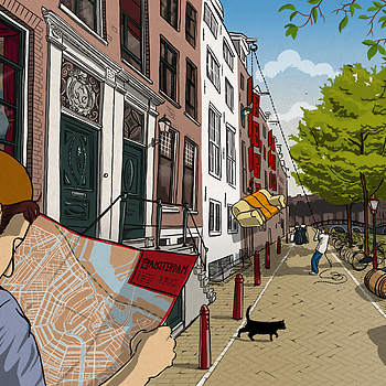
Today, the canal ring serves as a familiar example of typically Dutch urbanisation. The urban waterways, the small scale, the innumerable bicycles, the bustling city centre, these are the hallmarks of a true Dutch city.
